Skip to content

Service

System Integration

Connecting the systems you already use so data flows reliably instead of being re-keyed by hand.

Discuss your project

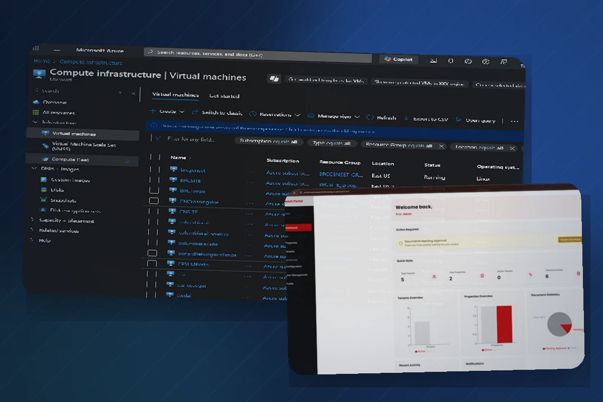
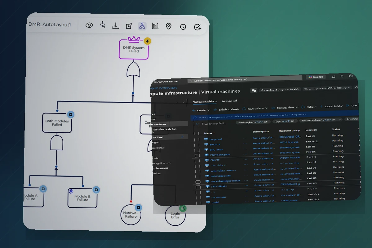
System workflow diagram connected with a cloud infrastructure interface.

Problems we address

Does this sound familiar?

  • Two systems that should share data do not, so staff re-key information.
  • Reports are wrong because records drift out of sync between platforms.
  • An enterprise system exposes data through APIs that are hard to consume.
  • A CRM or accounting tool needs to connect to the rest of the business.

Capabilities

What this includes

  • REST APIs and webhooks
  • SAP OData integration
  • CRM and accounting platform integration
  • Xero and similar platform integration following API discovery
  • Salesforce and Dynamics 365 connectivity
  • ArcGIS integration
  • Data synchronisation and reconciliation
  • API testing, wrappers and documentation

Example solutions

What it can look like

  • Enterprise equipment records are reconciled with geospatial asset data.
  • A CRM is connected to accounting so records stay consistent across both.
  • A difficult API is wrapped in a clean, documented interface for other systems.

Delivery approach

How delivery works

  1. Discover

    Assess the target APIs, permissions, licensing and data quality.

  2. Design

    Define the integration approach, error handling and reconciliation.

  3. Deliver and improve

    Build, test against real data, document and support the integration.

Supporting evidence

Relevant technologies

Tools are chosen to fit the problem. This is supporting evidence, not the main sales message.

  • SAP OData
  • ArcGIS REST
  • REST
  • Webhooks
  • Python
  • Node.js

Integration feasibility depends on the target platform's API, licensing, permissions and data quality. These are assessed before scope is committed.

Related work

Relevant case studies

Architecture diagram connecting SAP OData equipment records with ArcGIS geospatial asset layers.
Transport and asset managementAnonymised

SAP and ArcGIS Asset Integration

Equipment records in SAP and spatial asset layers in ArcGIS could not be viewed or reconciled together.

Outcome: A reconciled, mapped view connected enterprise equipment data with its real-world location.

  • SAP OData
  • ArcGIS REST
  • Python
  • JSON/CSV processing
Diagram of an asset-management platform linking field inspection, asset records and reporting.
Asset managementAnonymised

Asset-Management Platform

Field inspection and asset records were fragmented, making it hard to plan work and trust the data.

Outcome: A single platform brought inspections, assets and workflow together, improving visibility and consistency.

  • Node.js
  • Express
  • React
  • MongoDB

FAQ

Frequently asked questions

Feasibility is assessed first, covering the platform's API, licensing, permissions and data quality. Scope is only committed once that is understood.

Ready to talk about integration?

Tell us what you are trying to achieve and we will suggest a sensible first step.